

BUTTE – No change to the current weather pattern. So look for more light snow and bitter wind chills with below zero lows tonight into Wednesday.
Snow is likely across SW Montana tonight into Wednesday morning and will create snow covered and icy roads with localized blowing snow.
Snow will likely diminish by Wednesday afternoon and as skies clear slightly into Thursday morning will produce the coldest morning lows of the week with some higher elevated valleys like Butte and West Yellowstone falling between -15° to -25° below zero or colder.
WINTER WEATHER ADVISORY:
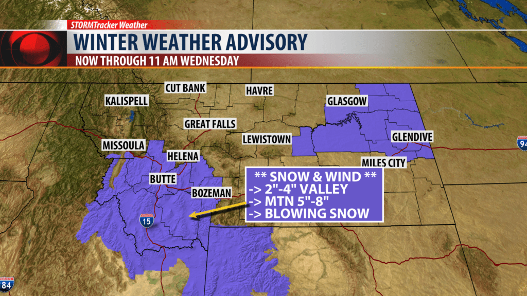
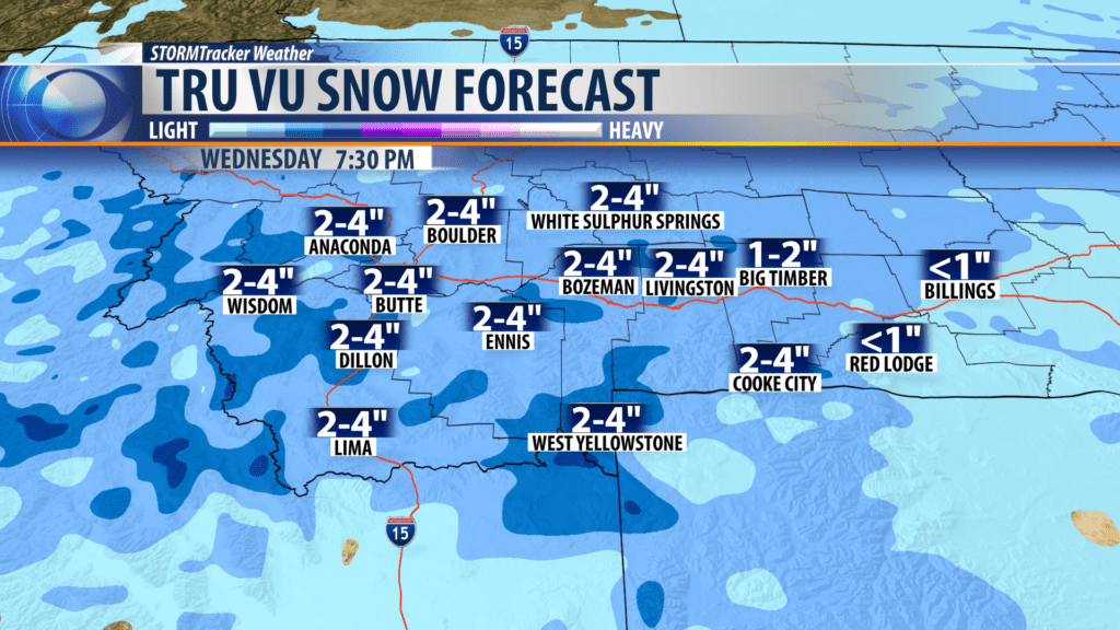
The National Weather Service has extended the current Winter Weather Advisory into Wednesday morning.
Snow Accumulations: 2″ – 4″ is possible for most valleys and 4″ – 6″ over most mountains and passes.
Localized areas of blowing snow are possible.
WIND CHILL ADVISORY:
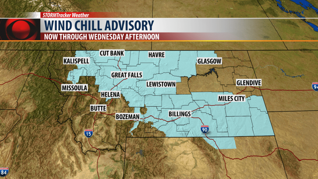
The National Weather Service has continued a Wind Chill Advisory through Wednesday afternoon.
Northern, central and eastern counties of Montana will see wind chill values at times colder than -30° below zero.
City by City Forecast:
BOZEMAN: LOW: -6°; HIGH WEDNESDAY: 7°. Snow is likely again this evening into Wednesday morning. Another couple of inches is possible. Light winds could produce bitter wind chills tonight. Snow should diminish by Wednesday afternoon.
BUTTE: LOW: -6°; HIGH WEDNESDAY: 8°. Light snow is likely tonight into Wednesday morning. 2″ – 4″ is possible and a little more over mountain passes. Light winds could produce bitter wind chills at time. Snow should diminish Wednesday afternoon.
DILLON: LOW: -4°; HIGH WEDNESDAY: 15°. Mostly cloudy with light snow at times tonight into Wednesday morning. Snow accumulations of 2″ – 4″ is possible. Snow will be ending by late afternoon Wednesday.
WEST YELLOWSTONE: LOW: -5°; HIGH WEDNESDAY: 12°. Snow is likely tonight into Wednesday. Snow accumulations of 2″ – 4″ is possible. Light winds could produce areas of blowing snow and bitter wind chills. Snow will diminish by late afternoon.
