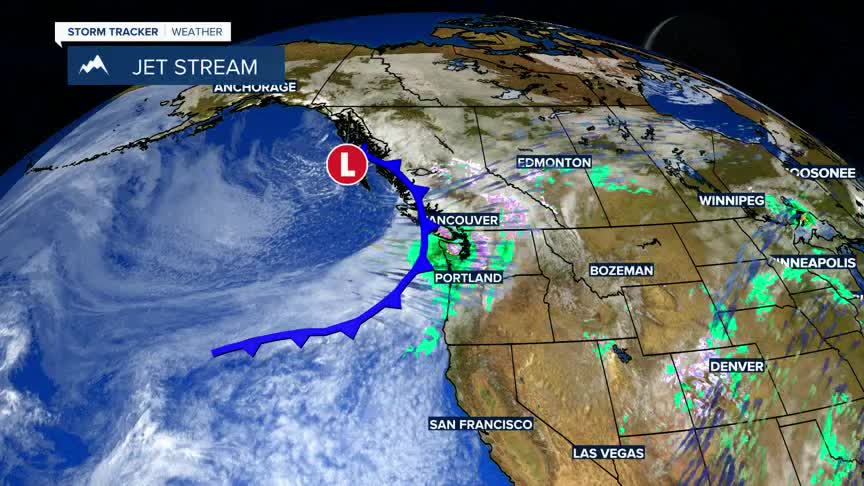


BOZEMAN – Another classic Spring snowstorm will impact the entire region Wednesday into Thursday with a few lingering pockets of snow through Friday morning.
Heavy wet mountain snow is likely and there could be some valley snow accumulations as well with possible travel impacts by Thursday morning.
The National Weather Service has a Winter Weather Advisory up for SW Montana West of the divide from 6 pm Wednesday to 9 am Thursday. The Butte/Blackfoot region could see 1”-3” inches of valley snow with 3”-7” of mountain snow and localized wind gusts to 35 mph.
The National Weather Service has a WINTER STORM WATCH up for the Madison and Gallatin mountain ranges along with the Absaroka-Beartooth range and inside Yellowstone National Park. This watch will likely get upgraded to warning soon. Snow accumulations for mountain ranges could vary from 10”-15”Wednesday night through Thursday night.
