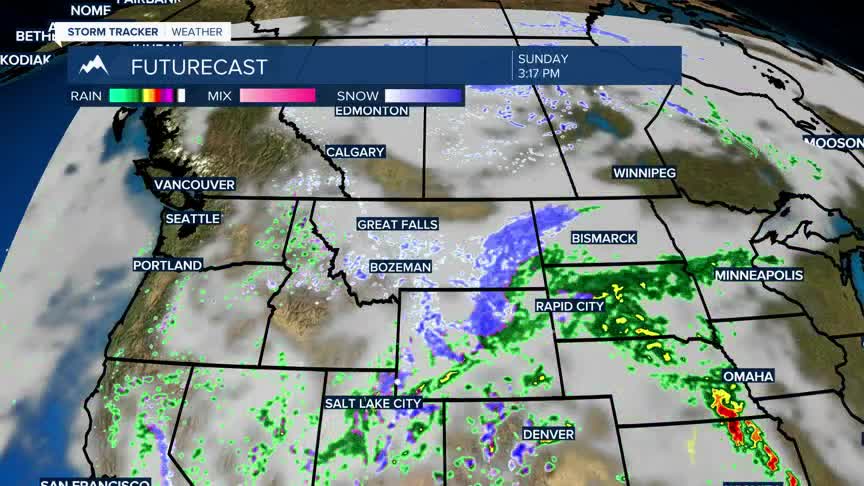


BOZEMAN – Low pressure is spinning up into southern Canada and will continue to produce a colder weather pattern across Montana this weekend. Most of the moisture associated with this storm will push northward with the greatest potential for accumulating snow across the hi-line of Montana. There are winter weather highlights up across northern Montana through Saturday afternoon.
Watch for a few scattered snow showers over SW Montana this weekend as moisture is being pulled up into the upper-level trough from the SW. There is a better chance for snow showers in Yellowstone National Park through SE Montana this weekend but there could a few snow showers here locally Saturday into Sunday.
Temperatures will remain colder than normal through the weekend into early next week with a very slow warming trend throughout next week.
