

BOZEMAN – A short break from the thunderstorm trend as a weak storm system is drifting out of Montana and a short-lived High-pressure ridge is building into the region.
Temperatures will be rising to normal or even slightly above normal Wednesday. There could be a few lower 90s within SW Montana but most forecast highs Wednesday are in the mid to upper 80’s.
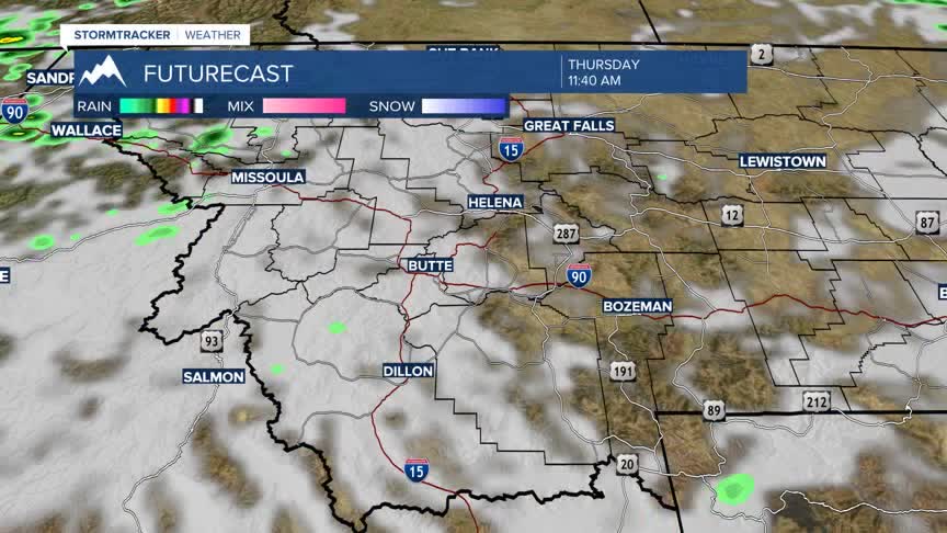
A cold front will sweep through the region on Thursday and that weather pattern will once again produce scattered afternoon thunderstorms and produce localized gusty surface wind.
Behind that front temperatures will be cooling into the 60’s and 70's for highs Friday into Saturday.
