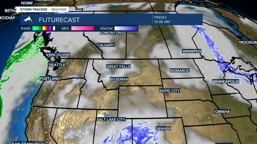


BOZEMAN – A trough of Low-pressure will sit over the Pacific NW into the Northern and Central Rockies for the rest of the week.
The jet stream is pulling Pacific storms from the Gulf of Alaska down into central California and those storms continue to follow the Polar Jet Stream to the NE.
This will continue to feed moisture up into most mountain ranges for several days with the West Yellowstone to Island Park,ID region look most favorable for more snow.
Lookout to Lost Trail pass could also see areas of light to moderate snow tonight into Wednesday.
The rest of SW Montana has only a slight chance for valley snow and a chance for mountain snow.
Temperatures will remain colder than normal through the end of the week with a warming trend returning by late weekend.
