

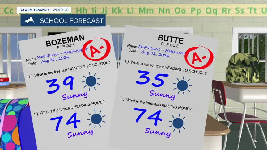


Today's Forecast:
Southwest Montana will see a cooler start with a steady warmup for your Monday. Temperatures will run below average with sunny skies. We will see some clouds move in tonight as a large upper level low works back toward us by the middle of the week.
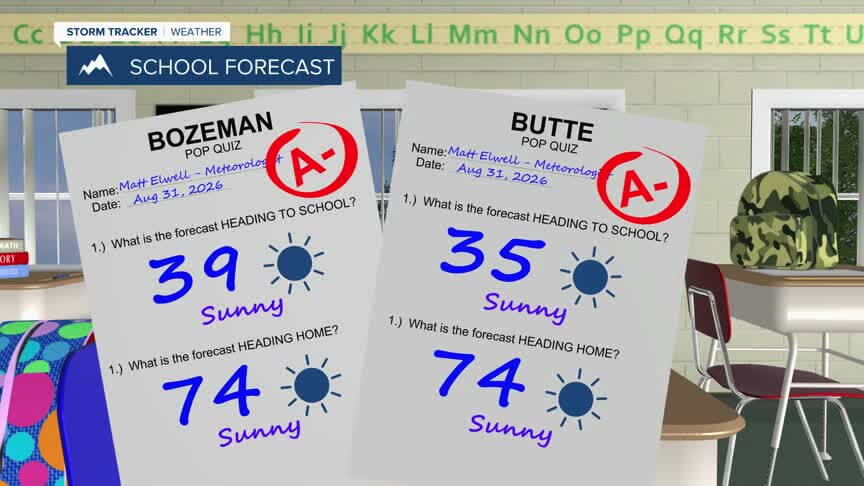
BOZEMAN: High: 77; Low: 50. Mostly sunny skies this morning will push temperatures in the middle 70s for the afternoon. Expect light winds out of the south.
BUTTE: High: 77; Low: 43. Mostly sunny and cool for the morning before a south wind and bright sunshine boost temperatures back into the upper 70s.
DILLON: High: 80; Low: 49. Clear skies will push temperatures back to near 80° this afternoon. A few clouds build for the evening.
WEST YELLOWSTONE: High: 71; Low: 42. Clear and sunny for the afternoon with a light south wind. We will see a little bit of cloud-cover build for the evening.
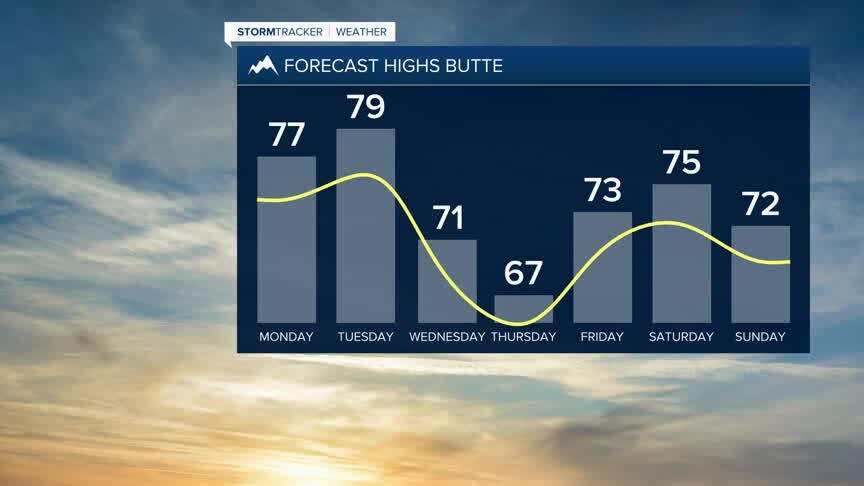
UP AND DOWN TEMPS THIS WEEK
Another cool-down is on the way by Wednesday and Thursday. Southwest Montana will remain in a cooler and more active weather pattern through much of the upcoming week with nearly daily chances for scattered showers and isolated thunderstorms. Temperatures are expected to stay below seasonal averages through at least midweek before gradual warming returns later in the week. The cooler temperatures, higher humidity and periodic rainfall should continue helping reduce fire weather concerns and improve air quality across much of the region
