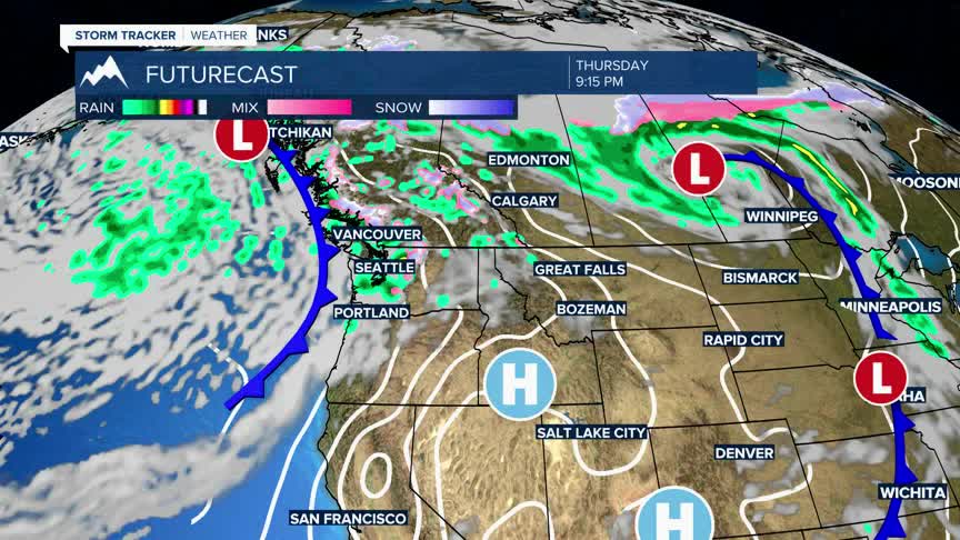


Today's Forecast: The cold front that blasted through the area yesterday has left temperatures much cooler for your Thursday.Winds are still expected to be gusty, but not to the extent it was on Wednesday.Winds will stay out of the west between 20-30 mph with gusts approaching 40 mph.The area will stay clear for most of the day allowing the daytime highs to climb back into the middle 60s.
BOZEMAN: High: 63; Low: 36. Gusty wind continues out of the southwest between 15-30 mph with gusts near 40 mph possible.Our rain chances remain slim for the afternoon as highs build into the middle and upper 60s.
BUTTE: High: 61; Low: 34. Winds continue and will peak around 35 mph this afternoon out of the west with highs near average.Fire danger is not critical, but we should use caution and minimize the risk of fire starts with gusty winds expected through the end of the week.
DILLON: High: 63; Low: 36. Cooler but dry for your Thursday as winds continue out of the west between 15-30 mph and peak gusts near 40 mph.
WEST YELLOWSTONE: High: 60; Low: 30. Near average temperatures can be expected today despite being drastically cooler after a cold front swept through the region on Wednesday.Winds will still gust near 30 mph for the afternoon.
WEEKEND OUTLOOK
Another cold front is slated to move through this weekend and bring scattered rain showers and cooler air back to the region for both Saturday and Sunday.Winds are expected to remain breezy but will also be accompanied by area showers and mountain snow.Impacts from snow are expected to be minimal, but there could be a few snowflakes flying in the valleys during the overnight on Saturday and first part of your Sunday.
