

Today's Forecast:
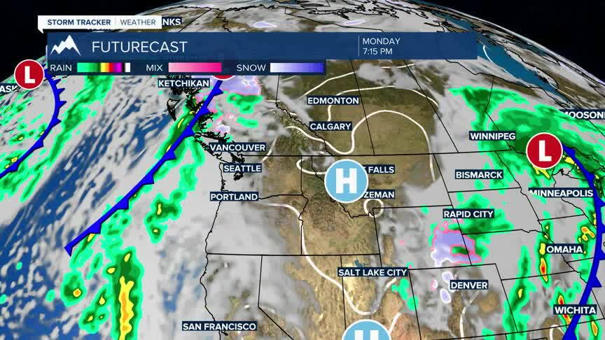
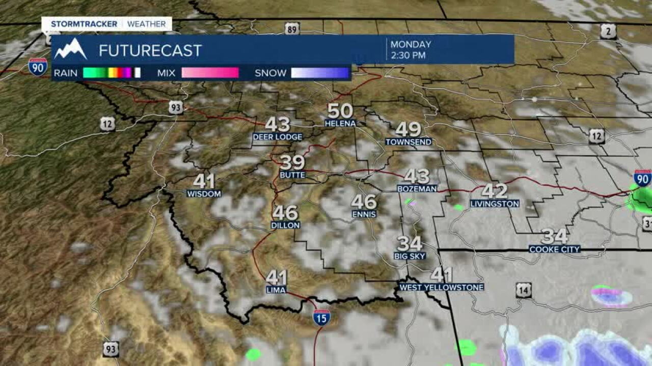
Lingering rain/snow showers across the mountains and a few valleys will quickly diminish this morning as our weekend storm system moves away. Patchy fog is also possible early, but skies will gradually clear from west to east with a drier and brighter afternoon ahead.
BOZEMAN:
High: 42; Low: 25.
A 30% chance of snow continues mainly before 7 a.m., with little or no accumulation expected. Clouds will gradually clear through the morning, giving way to sunshine this afternoon. Winds remain light, with increasing clouds returning tonight.
BUTTE:
High: 43; Low: 19.
Mostly cloudy skies early will gradually give way to sunshine. Northwest winds around 5 to 9 mph become calm during the morning. Clouds increase again tonight as temperatures fall into the middle 20s and upper teens.
DILLON:
High: 44; Low: 26.
Sunny skies are expected today with west-southwest winds around 5 to 7 mph becoming calm during the morning. Clouds increase tonight as temperatures fall into the middle 20s.
WEST YELLOWSTONE:
High: 41; Low: 18.
Patchy fog is possible through mid-morning before skies gradually turn sunny. Winds remain light, with clouds increasing again tonight. Patchy fog could redevelop overnight as temperatures fall into the teens.
MILDER AND DRIER THIS WEEK
A generally milder and drier pattern takes over through much of the workweek. Tuesday will be warmer despite more cloud cover, followed by a modest cooldown Wednesday. A more progressive pattern develops late in the week with increasing wind and precipitation focused mainly over the mountains heading into the weekend.