


BOZEMAN – Extreme heat, unhealthy wildfire smoke, and thunderstorms are the three main topics in your short-term forecast for SW Montana.
Forecast highs Tuesday are in the mid to upper 90s and that should put us awfully close to record highs for today.
Central and Eastern counties of Montana could see max temperatures today around 100°.
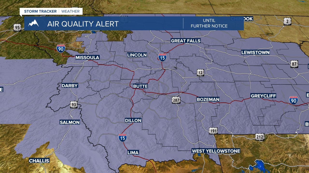
The Department of Environmental Quality has “AIR QUALITY ALERTS” up for most of Montana through Wednesday morning. These alerts are likely to continue for most of the week. At time air quality has been rated “unhealthy” in Butte, Bozeman, and Dillon but it does not appear to be as bad in West Yellowstone.

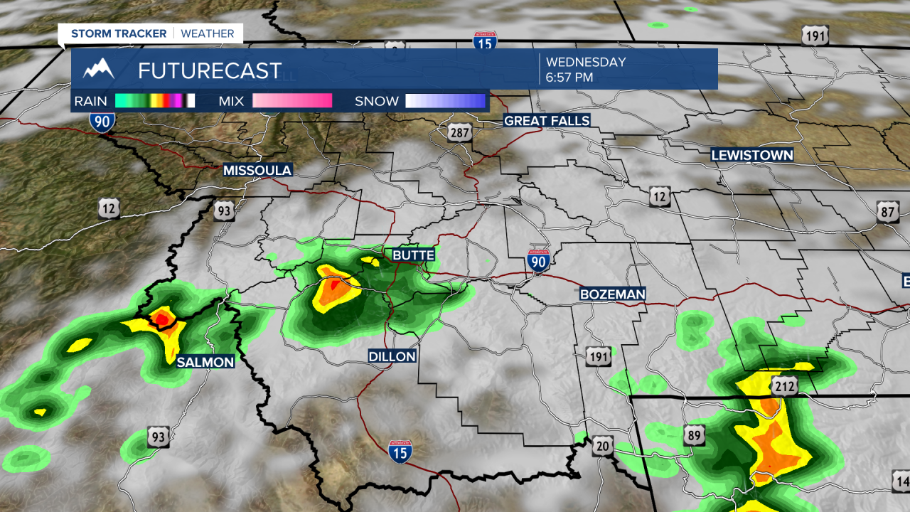
The biggest threat to SW Montana will be the return of afternoon thunderstorms some dry and some wet but all will bring lightning and possible new fire starts.
Tuesday afternoon a weak layer of mid to upper-level moisture is lifting into the region and could produce a few isolated dry thunderstorms. The monsoonal flow should have a deeper layer of moisture moving into the region Wednesday and Thursday producing a better chance of wet thunderstorms.

Temperatures are expected to begin cooling slowly for the rest of the week and by the weekend we could be dropping to seasonal averages in the 80s.
