


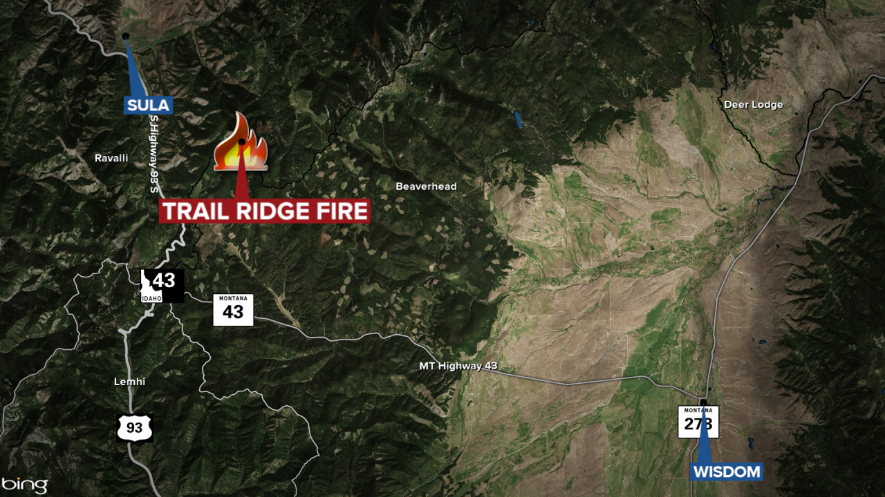
The lightning-sparked Trail Ridge Fire southeast of Sula has grown slightly to 17,070 acres with containment growing to 22%, according to the Wednesday update.
The blaze is burning approximately five miles southeast of Sula and approximately 11 miles northwest of the Big Hole National Battlefield.
Fire managers report rain that fell Tuesday helped to moderate fire behavior and slow the fire’s spread.
The northern side of the fire remains near Mink Creek Saddle and Shultz Saddle Road at this time and is still within indirect containment lines.
Crews are also continuing to work on preparing an indirect line along the Meadow Creek Road area.
The southern side of the fire has seen minimal growth and at this time Hogan Cabin remains closed for reservations.
There are closures in effect in the Bitterroot National Forest and the Beaverhead-Deerlodge National Forest.
