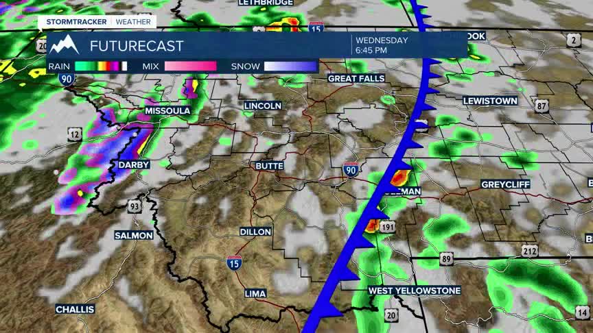


Today's Forecast: Red Flag Warnings have been issued for Wednesday afternoon and evening due to extreme winds more than 50 mph and low humidity.Parts of southwest Montana also hold onto a slight risk of severe storms that will center around damaging wind.Highs are expected to be in the 70s to middle 80s with sustained winds between 20-40 mph.An approaching cold front will likely spark a few thunderstorms this afternoon.A few storms will be capable of producing wind gusts in excess of 60 mph late in the day.

BOZEMAN: High: 88; Low: 43. Extreme wind out of the southeast between 20-40 mph with highs in the middle and upper 80s.Late afternoon will bring the potential of a few t-storms.The severe threat will include the potential for 60 mph or greater wind gusts and a chance of small hail.
BUTTE: High: 76; Low: 34. Fire danger is extremely high today with winds gusting in excess 40 mph.A cold front will bring an isolated chance of t-storms by the early afternoon.Severe threat is low, but we could see gusty winds from a few of these storms.
DILLON: High: 88; Low: 43. Hot and dry for today with winds in excess of 45 mph.There is a very slight potential for a few t-storms in the early afternoon before things begin to clear out, though winds will remain gusty through tonight.
WEST YELLOWSTONE: High: 76; Low: 34. Winds are expected to peak around 40-50 mph at times today as a cold front drives through the region during the evening. A few isolated thunderstorms are possible bringing the chance of damaging winds during the early evening.
TURNING COOLER AND UNSETTLED

A cold front will move through the area on Wednesday and will knock temperatures back to near average.We will also see several chances of scattered showers through the weekend. The cooler air will settle into the area Saturday and Sunday leaving highs on Sunday in the 40s and low 50s.
