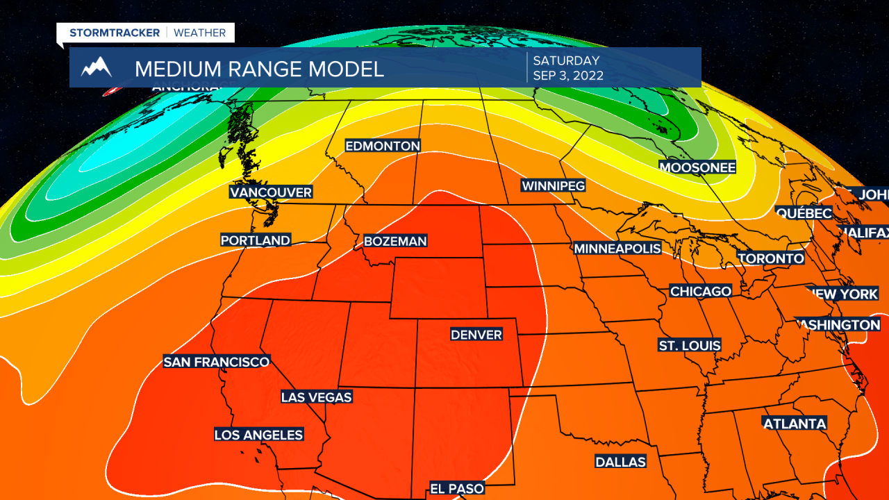
BOZEMAN – Extreme heat will dominate the weather pattern over much of western and central U.S. including Montana through early next week.
The forecast has the peak of the current heatwave arriving this weekend. Maximum temperatures over SW Montana could reach low to mid and a few upper 90s. Numerous record highs are possible over SW Montana this weekend and on Labor Day and there could even be a few new all-time record September highs locally this weekend.
The current heat dome over the region will remain very strong for at least the next 7 days. Forecast models show this pattern to begin breaking down by Wednesday of next week with a cooler NW flow finally arriving for the second weekend of September.
The other weather issue in the short-term forecast is a very weak disturbance pushing through northern Montana tonight into Thursday. There could be a few isolated thunderstorms over northern Montana but southern Montana should remain dry. However, surface wind gusts will be increasing Thursday.

Late afternoon west to SW gusts of wind 10 to 20 mph with occasional peak gusts 20 to 40 mph especially in wind prone areas. The combination of hot, dry, and windy conditions will produce higher fire danger and that means we all need to use extreme caution with all outdoor activities Thursday.


