

BOZEMAN – A small and very weak Pacific system is passing through Washington State Thursday afternoon and will likely bring increasing clouds and some light mountain snow to SW Montana Friday.
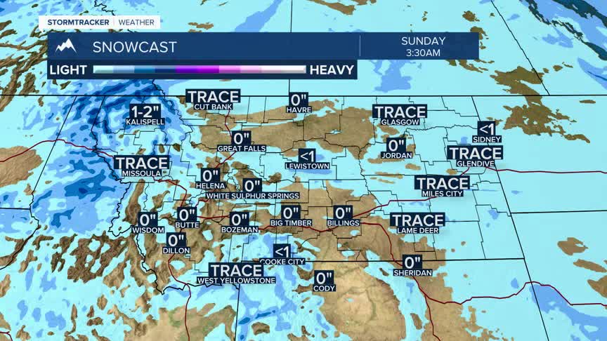
Central and Northern Idaho along with West Central and NW Montana will have the best chance for accumulating snowfall over the next 24 hours. Mountain passes along the MT/ID border, like Lookout Pass, will see periods of snow into Friday.
A warming trend is still on track this weekend and temperatures could rise rapidly by Sunday into Monday, in fact, lower 50s are possible again in SW Montana. Why? A flow aloft will veer out of the SW and help temperatures rise above normal into next week.
