



Today's Forecast
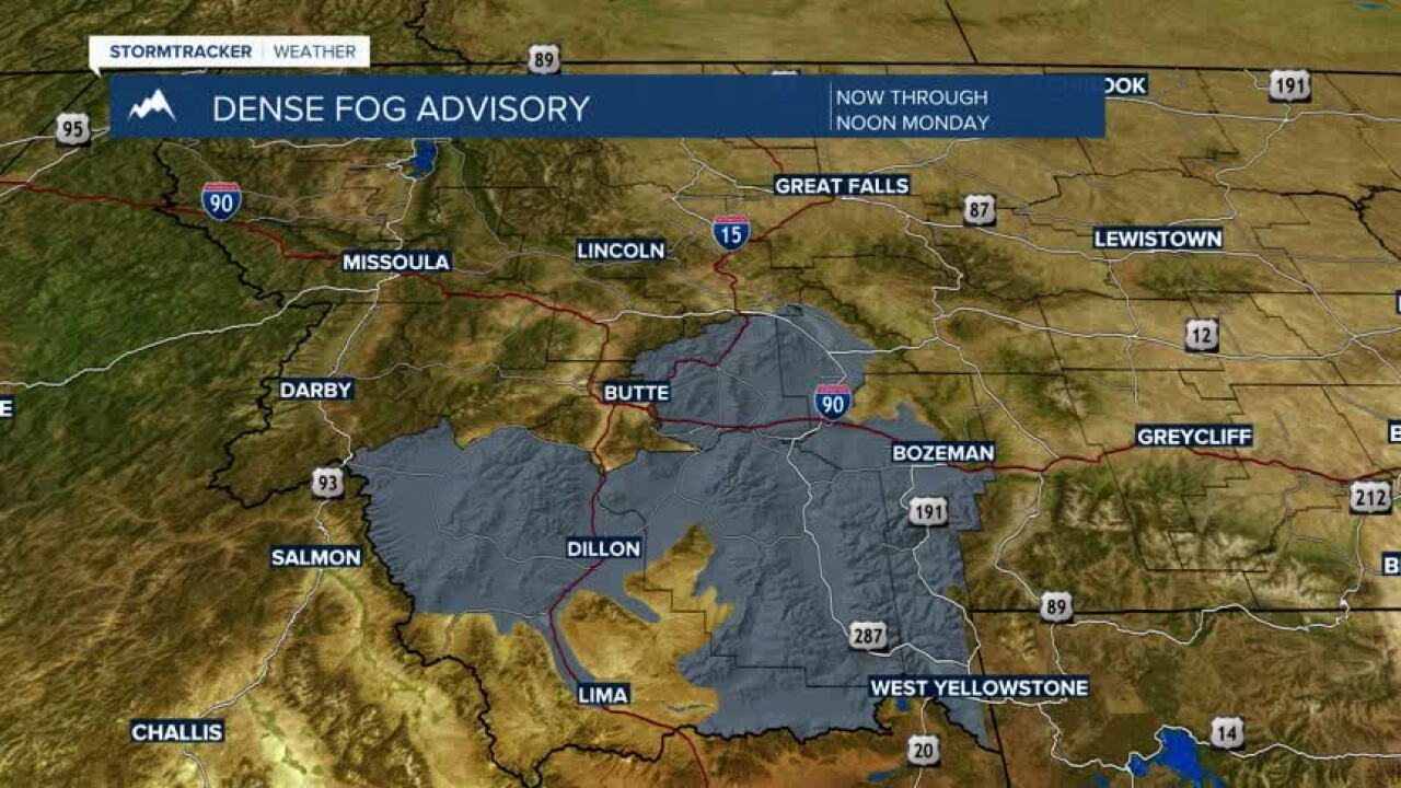
Southwest Montana starts the week with a chilly and potentially foggy morning. Areas of fog, locally dense in some valleys, could reduce visibility for the morning commute before gradually improving through late morning. Once the fog lifts, expect a quieter afternoon with a mix of sunshine and clouds and seasonable late-October temperatures. The evening brings a rain/snow mix to valleys with mountain snow showers likely.
Bozeman
High: 49 | Low: 33
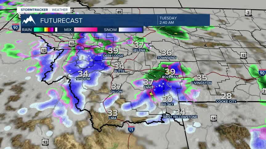
Patchy to areas of dense fog are possible during the morning commute, with visibility reduced in spots around the Gallatin Valley. Conditions gradually improve late morning, giving way to partial sunshine during the afternoon. Morning travelers should allow extra time and be prepared for rapidly changing visibility. There is a good chance for rain developing overnight with a rain/snow mix possible overnight with little if any accumulation.
Butte
High: 50 | Low: 29
A cold start to the day with areas of valley fog possible early. Any fog should gradually dissipate through the morning, leading to a mix of clouds and sunshine by afternoon. Light winds and dry conditions are expected through the early evening. A few spotty rain showers mixing with snow possible overnight.
Dillon
High: Near 51| Low: 31
Morning fog may develop in portions of the Beaverhead Valley, creating localized visibility concerns before improving by midday. Skies become partly sunny during the afternoon with quiet weather continuing into the evening.
West Yellowstone
High: 48| Low: 26
Cold morning temperatures start the day. While widespread fog is less likely than in the valleys, areas of low clouds are possible early. Expect a mix of sun and clouds during the afternoon with dry conditions. Mountain snow likely to develop overnight.
Looking Ahead
Quiet weather is expected through Tuesday, but attention then turns to the next storm system expected to move into the Northern Rockies late Wednesday and Thursday. Rain chances are expected to increase across the valleys Wednesday night and Thursday, while colder temperatures in the mountains could support accumulating snowfall, particularly above pass level.
Travel impacts currently appear most likely from late Wednesday night through Thursday, when periods of mountain snow could create slick conditions over higher-elevation routes, including area passes. Reduced visibility and winter driving conditions may develop at times where heavier snow occurs.
Valley locations, including Bozeman, Butte, and Dillon, currently appear more likely to see rain than snow initially, though cooler air arriving with the system could bring changing conditions by the end of the week.
Key Impact
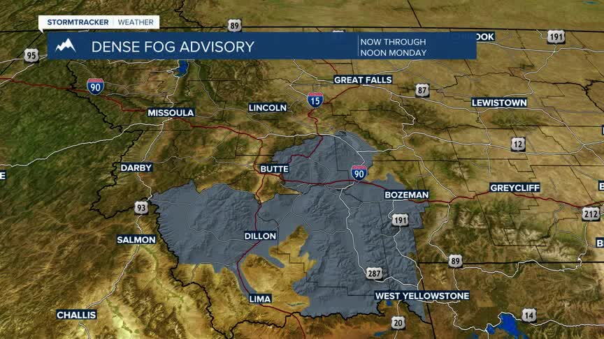
The primary concern Monday is the morning commute, when areas of fog could reduce visibility to less than a mile in some valley locations before gradually improving by late morning. Looking farther ahead, the next weather concern will be the potential for valley rain and accumulating mountain snow beginning late Wednesday and continuing into Thursday.
