

BOZEMAN – A large high-pressure ridge over the Pacific Northwest is producing dry, stable conditions and reinforcing valley inversions.
Air stagnation is significantly worse in Washington, Oregon, Idaho, and far western Montana. So far, strong inversions have not been a widespread problem for most of southwest Montana.
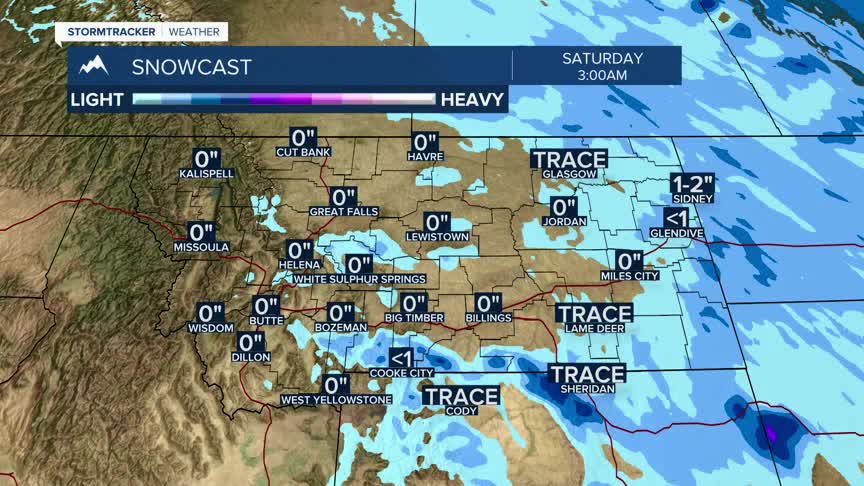
The next weather system will slide down the backside of the ridge Thursday night into Friday, bringing a brief cooling trend. Expect a chance for light mountain snow, with a very slight possibility of valley snow east of the Continental Divide in southwest Montana. The Gallatin and Absaroka-Beartooth ranges could see a few inches of snow at higher elevations Thursday night.
Over the weekend, temperatures will climb steadily, with highs running about 10–15 degrees above seasonal averages.
