



Today's Forecast
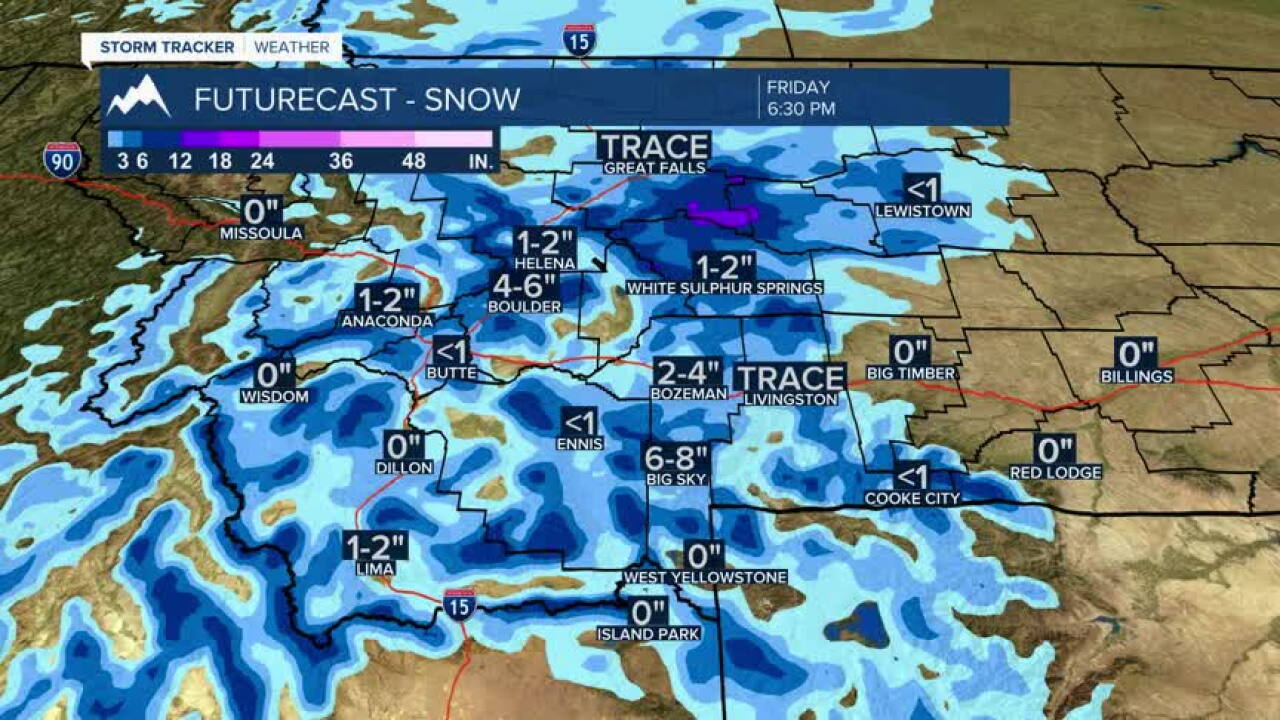
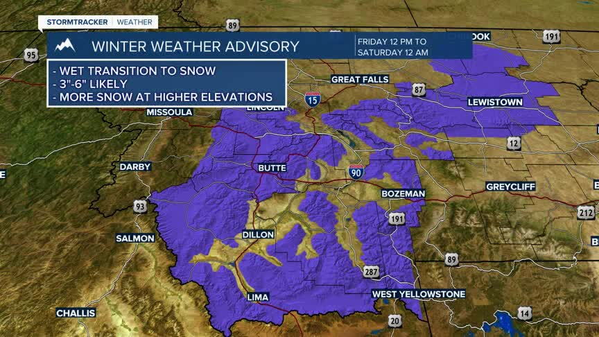
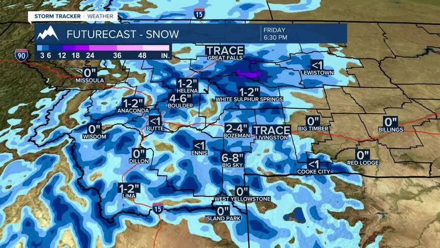
A significant weather change arrives Friday across southwest Montana. Rain will be widespread through much of the day, but a cold front moving through the region will send temperatures downward during the afternoon. As colder air arrives, rain will transition to snow from west to east, creating the potential for a messy evening commute with wet roads becoming slushy and slick, especially over passes and higher elevations. High temperatures are expected during the morning before temperatures steadily fall through the afternoon.
Bozeman
High: 53 | Low: 24
Rain develops during the morning and continues through much of the day. Temperatures peak by late morning before falling into the afternoon. Rain mixes with and changes to snow late afternoon and evening. Expect a sloppy evening commute as colder air arrives and roads become wet and potentially slick. Northwest winds increase to 10 to 15 mph with higher gusts.
Butte
High: 50 | Low: 28
Rain is likely through much of the day before transitioning to a rain/snow mix and then snow by late afternoon and evening. Temperatures fall steadily after midday. Travel conditions may deteriorate during the evening commute, especially on area hills and mountain passes.
Dillon
High: 52 | Low: 29
Periods of rain Friday morning and afternoon give way to a rain/snow mix late in the day. Falling temperatures will lead to increasingly wintry conditions into the evening. Roads may become slick after sunset, particularly outside town and at higher elevations.
West Yellowstone
High: 39 | Low: 20
Rain and snow showers are expected with colder temperatures throughout the day. Snow accumulation will be more likely here than in the valleys, and travel conditions may become snow-covered at times by afternoon and evening.
Looking Ahead
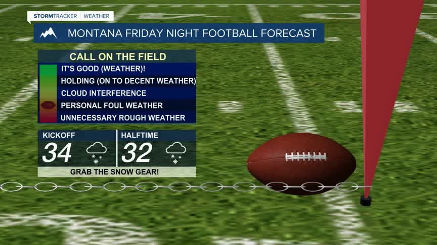
Friday's storm exits quickly Friday night, with clearing skies returning for the weekend. However, the combination of rain and snow Friday followed by overnight lows in the 20s could create icy spots on roads, sidewalks, bridges, and overpasses early Saturday morning, even where little snow accumulates. Motorists heading out early Saturday should be prepared for localized slick conditions.
Saturday and Sunday will be dry with a mix of sunshine and clouds, but temperatures will remain noticeably cooler than earlier this week. Another storm system may bring additional chances for rain and snow by the middle of next week.
Key Impact
The biggest concern Friday is the evening commute, when temperatures will be falling and rain changes to snow. Conditions may worsen rapidly between late afternoon and evening, especially over mountain passes, elevated roadways, and untreated surfaces. Early Saturday morning could bring lingering icy spots despite improving weather conditions.
