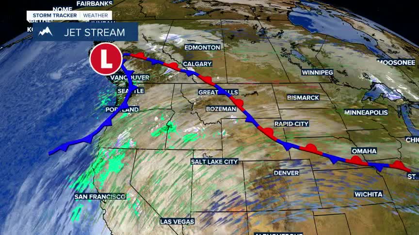


BOZEMAN – A slightly unstable weather pattern today and again on Thursday could bring some travel weather concerns to SW Montana.
A shot of moisture will punch into the Upper Big Hole to Anaconda region Tuesday morning with possible lower valley rain or snow and isolated pockets of freezing rain. There is a higher probability of moderate snow accumulations for Lost Trail pass into the Bitterroot Range.
The National Weather Service has issued a WINTER WEATHER ADVISORY for Lost Trail and Lolo Passes through 11 am Tuesday. The advisory is also in effect for the Bitterroot valley and US 93.
The National Weather Service has issued a HIGH WIND WATCH for the Madison River Valley Tuesday evening through Wednesday evening. Sustained SW winds 25 to 40 mph with peak gusts up to 60 mph is likely to develop beginning tonight.
Lastly, an AVALANCHE WARNING remains in place for the Madison and Gallatin Ranges along with the backcountry around Cooke City. Avalanche danger is HIGH on all slopes,with natural and human triggered slides are very likely.
Another round of moisture will impact SW Montana Wednesday evening into Thursday morning especially east of the divide. Valley rain with a slight chance of freezing rain is possible from Dillon to Bozeman Thursday morning. Moderate snow is possible over mountain passes Thursday morning.
