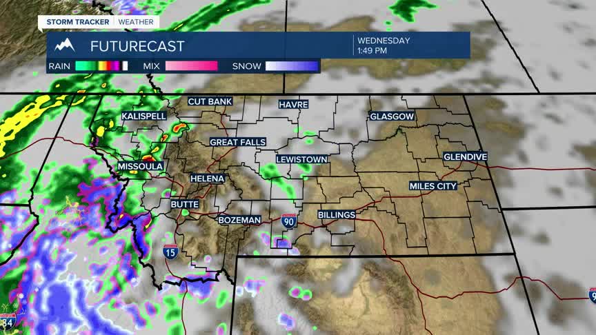


BOZEMAN – Another great Pacific storm will pass through Montana Wednesday afternoon through Thursday evening and just like the last storm,snow is in the forecast at all levels.
The National Weather Service has a new WINTER STORM WATCH up from Wednesday afternoon through Thursday afternoon for the Madison, Gallatin, and Bridger ranges. There could be 5”-10” of mountain snow along with wind gusts to 50 mph.
There will likely be additional winter weather highlights issued as the storm gets a little closer.
Temperatures will be trending much cooler again with this storm system and likely to dip into the 30s again by Thursday and Friday. Morning lows will also drop sharply and end up in the frosty teens and 20s later in the week.
