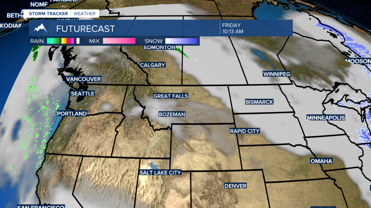
BOZEMAN – Here we go again with an unseasonably warm and dry weather pattern across the central and northern Rockies. A new and strong High-pressure ridge is building in from the west that will strengthen a SW flow aloft.
Temperatures will be well above normal and likely to threaten some daily record highs across SW Montana Wednesday through Saturday. Thursday and Friday will likely be the warmest temperature days and thus a higher probability for new record high temperatures.
This ridge pattern does break down late weekend,and a Pacific storm will roll into Montana producing cooler temperatures and a shot of rain or snow for the lower valleys and a good chance for mountain snow.


