

BOZEMAN – The next weather maker is a strong Pacific cold front. Wednesday afternoon the cold front is pushing into the Pacific NW and will roll over Idaho and Montana tonight into Thursday.
Ahead of the cold front look for increasing surface wind. SW wind will increase between 20 to 30 mph Wednesday evening into early Thursday morning.
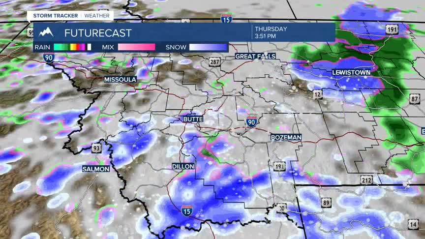
Increasing moisture will begin to dig into SW Montana tonight and could impact your Thursday morning commute. Lower valleys could see a rain/snow mix Wednesday evening, but mountain passes should see mostly snow with blowing snow.
There is a slight chance for a rumble of thunder Thursday afternoon. Most lower valleys will see rain or snow and slushy accumulations are possible which could lead to some icy road surfaces Thursday into Friday morning.
Temperatures are still expected to rise above normal by early next week and some of you could see lower 60s.
