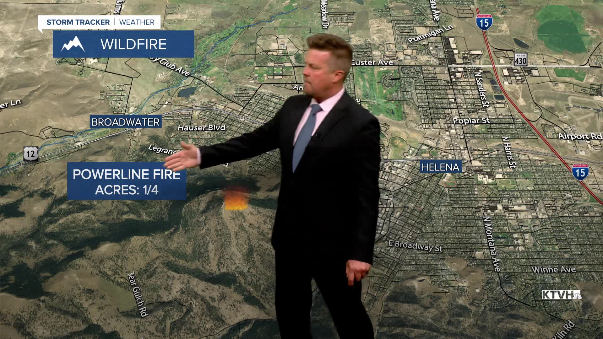


A WIND ADVISORY has been issued for west of the Continental Divide for Tuesday afternoon and evening.
A strong west wind will blow across most of Montana on Tuesday, along with warm temperatures will create elevated fire danger. A cold front will eventually move through with scattered showers and thunderstorms, but late in the day. Most of Montana will have the strong wind and highs in the 80s to near 90. Some wind gusts could top out around 50mph. A few thunderstorms will develop along the Hi-Line through the afternoon and evening, gradually drifting south. Wednesday will be a cooler day with highs in the 60s and 70s. It will still be breezy, but not as windy. The strongest wind will be across the plains of eastern Montana, gusting to more than 40mph. There will be partly to mostly cloudy skies with scattered showers and a few thunderstorms. Thursday will be a quieter, calmer day with partly cloudy skies and highs in the 70s. A few isolated thunderstorms are possible around the East Glacier area down to Great Falls. Friday will be a nice late spring day with partly cloudy skies, a light breeze, and highs in the 70s to near 80. This weekend will start out nice with partly cloudy skies and warm temperatures in the 70s and low 80s, but clouds will increase along with a few thunderstorms on Saturday afternoon. Sunday is Father's Day and the beginning of summer. Skies will be mostly cloudy with scattered showers and cooler temperatures in the 50s and 60s. The rain should be light.
Have a great day,
Curtis Grevenitz
Chief Meteorologist
