



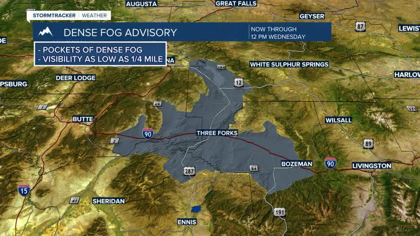
DENSE FOG ADVISORY
A Dense Fog Advisory was issued for portions of southwest Montana, including the Gallatin Valley and Madison River Valley, due to visibility as low as one-quarter mile in dense fog. Travelers should remain alert during the morning commute until fog dissipates
Today's Forecast:
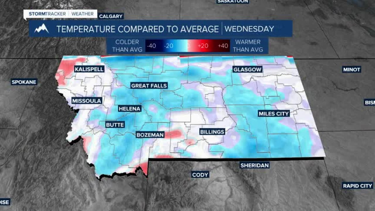
Southwest Montana continues to recover from the recent winter storm. Patchy valley fog may linger through the morning hours before giving way to increasing sunshine this afternoon. Temperatures remain below average for mid-October, but a gradual warming trend is underway and will continue through the weekend.
BOZEMAN:
High: 49; Low: 28.
Patchy morning fog gives way to mostly sunny skies this afternoon. Winds remain light and variable with dry conditions expected throughout the day. Mostly clear skies return tonight with chilly overnight temperatures.
BUTTE:
High: 48; Low: 23.
Sunny skies dominate with light west-northwest winds. Dry weather continues and temperatures recover slightly from earlier in the week. Clear to mostly clear conditions are expected overnight.
DILLON:
High: 52; Low: 28.
Mostly sunny and dry with light winds. Afternoon temperatures remain cool but will be noticeably warmer than the weekend. Another cold night is expected under mostly clear skies.
WEST YELLOWSTONE:
High: 53; Low: 22.
Areas of morning fog gradually give way to mostly sunny skies during the afternoon. Winds remain light and temperatures continue a modest recovery. Another cold night is expected with lows falling into the teens.
WARMER WEEKEND WITH SNOW POSSIBLE NEXT WEEK
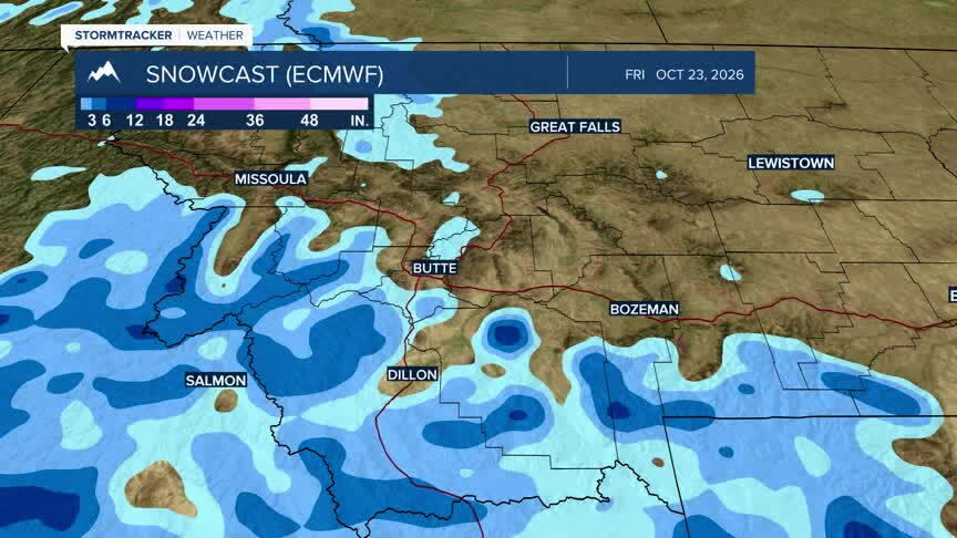
A warming and drying trend will continue through the remainder of the week as high pressure builds across the Northern Rockies. High temperatures are forecast to climb into the 50s and 60s by late week, with some lower-elevation valleys potentially approaching 70 degrees this weekend. While the upcoming weekend looks dry, longer-range forecast guidance is beginning to indicate the potential for another weather system to impact the region by the middle of next week, bringing cooler temperatures and the possibility of additional mountain snow. Forecast details on timing and impacts remain uncertain at this time.
