


Today's Forecast:
Southwest Montana will see a warm and mostly dry day with abundant sunshine across the region. Air quality concerns remain possible at times due to lingering wildfire smoke and haze, especially during the morning and overnight hours in valley locations. Afternoon west to northwest breezes will develop, but most areas stay quiet weather-wise through tonight.
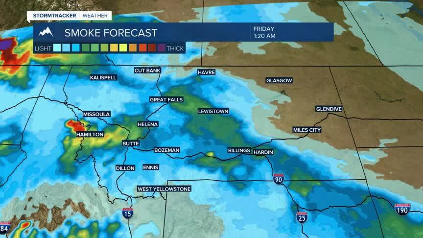
BOZEMAN: High: 89; Low: 56. Sunny skies today with warm afternoon temperatures returning across the Gallatin Valley. Northwest winds increase to around 5 to 7 mph this afternoon. Air quality may be reduced at times due to lingering wildfire haze, especially early and late in the day. Mostly cloudy skies develop tonight with mild overnight temperatures.
BUTTE: High: 89; Low: 51. Sunny and warm with mainly dry conditions expected through the day. West northwest winds increase between 5 and 9 mph this afternoon with gusts near 20 mph possible. Areas of haze and smoke may occasionally impact visibility and air quality. Mostly cloudy skies move in overnight.
DILLON: High: 90; Low: 56. Sunny skies and warm temperatures continue today with dry conditions across southwest Montana. Southwest winds around 5 to 8 mph become light and variable this afternoon with occasional gusts near 18 mph possible. Localized wildfire haze may continue to affect air quality at times. Mostly cloudy tonight with mild overnight lows.
WEST YELLOWSTONE: High: 84; Low: 46. Sunny and warm today with dry weather expected through the afternoon. West southwest winds increase between 5 and 9 mph later today. Some haze from regional wildfire smoke may reduce visibility at times, especially this morning. Mostly cloudy skies return tonight with cool overnight temperatures.
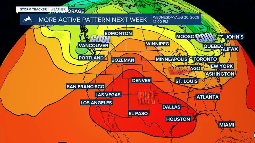
ACTIVE PATTERN EMERGES NEXT WEEK
Southwest Montana will continue warming through Friday with temperatures climbing well above seasonal averages across many lower elevations. A more unsettled pattern begins to return this weekend with increasing chances for showers and thunderstorms Saturday and Sunday, especially during the afternoon and evening hours. Fire danger concerns may increase through Friday as warm temperatures, dry conditions and periodic afternoon breezes continue. We will see several systems try to work through next week increasing rain chances and bringing good potential for at least isolated rain and thunderstorms.
