

Today's Forecast:
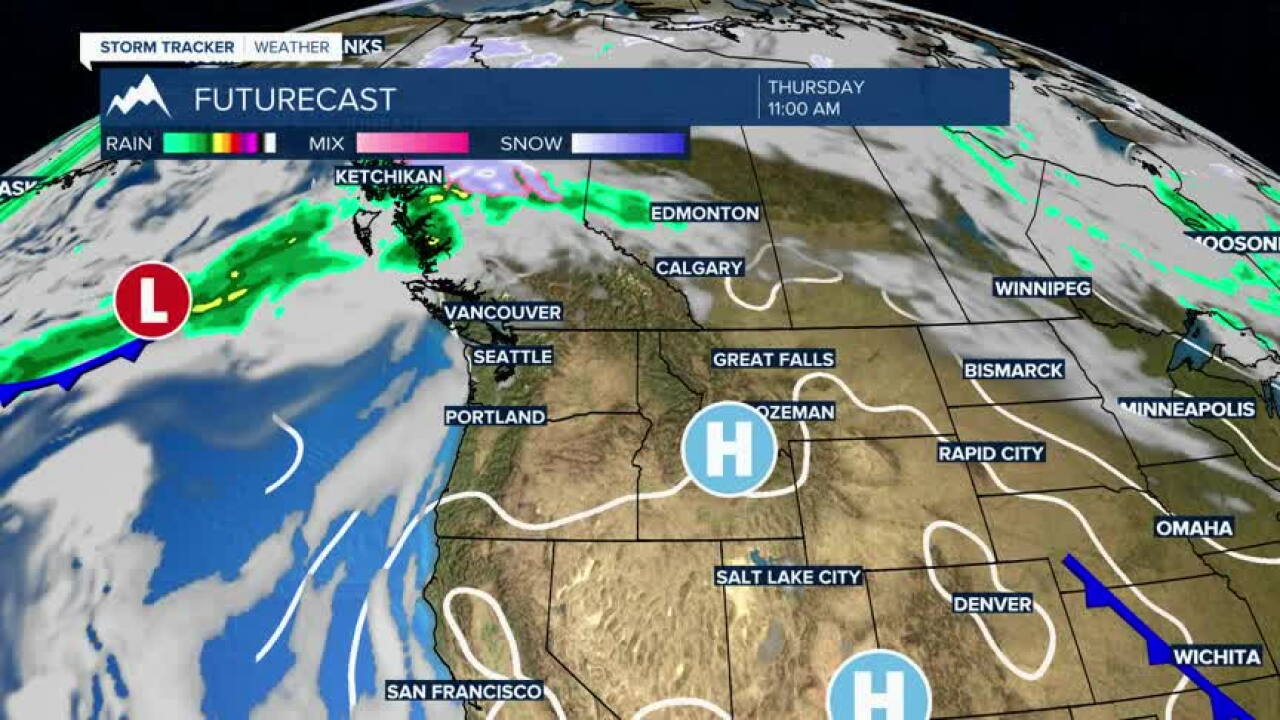
A strong ridge of high pressure continues to provide southwest Montana with abundant sunshine, light winds, and temperatures well above average for October. Dry conditions remain firmly in place, making for another pleasant fall day across the region, though concerns about fire weather will continue in some areas.
BOZEMAN:
High: 75; Low: 45.
Sunny skies continue from morning through evening with no chance of precipitation. Light northwest winds develop during the afternoon. Dry weather persists, followed by mostly clear skies and cool overnight temperatures.
BUTTE:
High: 75; Low: 38.
Another beautiful autumn day is expected with abundant sunshine and light winds. Conditions remain dry through the afternoon and evening, with mostly clear skies overnight.
DILLON:
High: 78; Low: 43.
Sunny and mild conditions continue with light southwesterly winds. No precipitation is expected, and temperatures remain well above seasonal averages before cooling quickly after sunset.
WEST YELLOWSTONE:
High: 71; Low: 30.
Expect sunny skies and pleasant afternoon temperatures. Winds remain light, and dry weather continues through the day. Clear skies return Thursday night, allowing temperatures to fall back near freezing.
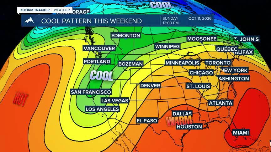
COOL AIR AND SNOW ON TRACK FOR THE WEEKEND
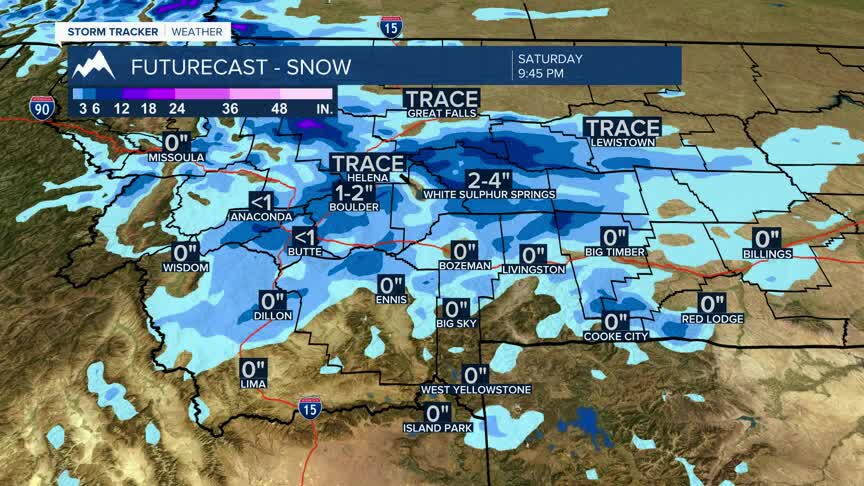
Dry and relatively warm weather will persist through Friday before a significant pattern change develops this weekend. Forecast confidence continues to increase that a strong trough will bring much cooler temperatures, widespread precipitation, and accumulating mountain snow Saturday through early next week. Forecast discussions also indicate the potential for snow reaching some valley locations late Saturday night into Sunday, though exact accumulations and impacts remain uncertain.
FIRE WEATHER WATCH
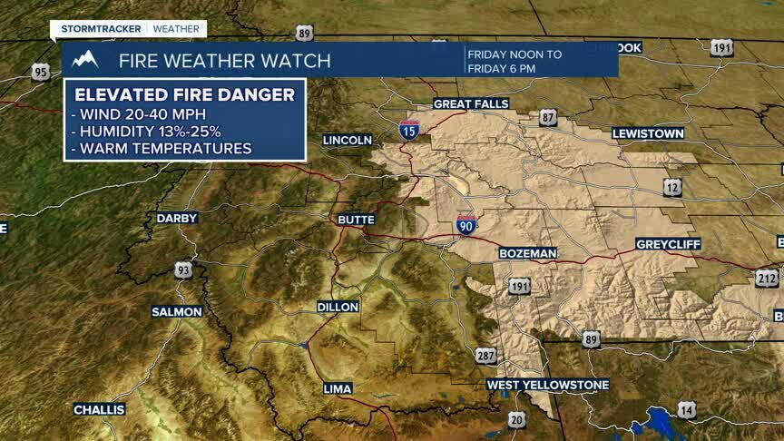
Dry fuels, low humidity, and periods of breezy conditions continue to create elevated fire weather concerns across portions of southwest Montana. While conditions are not expected to be as windy as earlier in the week, residents and outdoor enthusiasts should continue to use caution with any activities that could create sparks or open flames. Fire danger remains elevated until the arrival of cooler and wetter weather this weekend.