



Today's Forecast
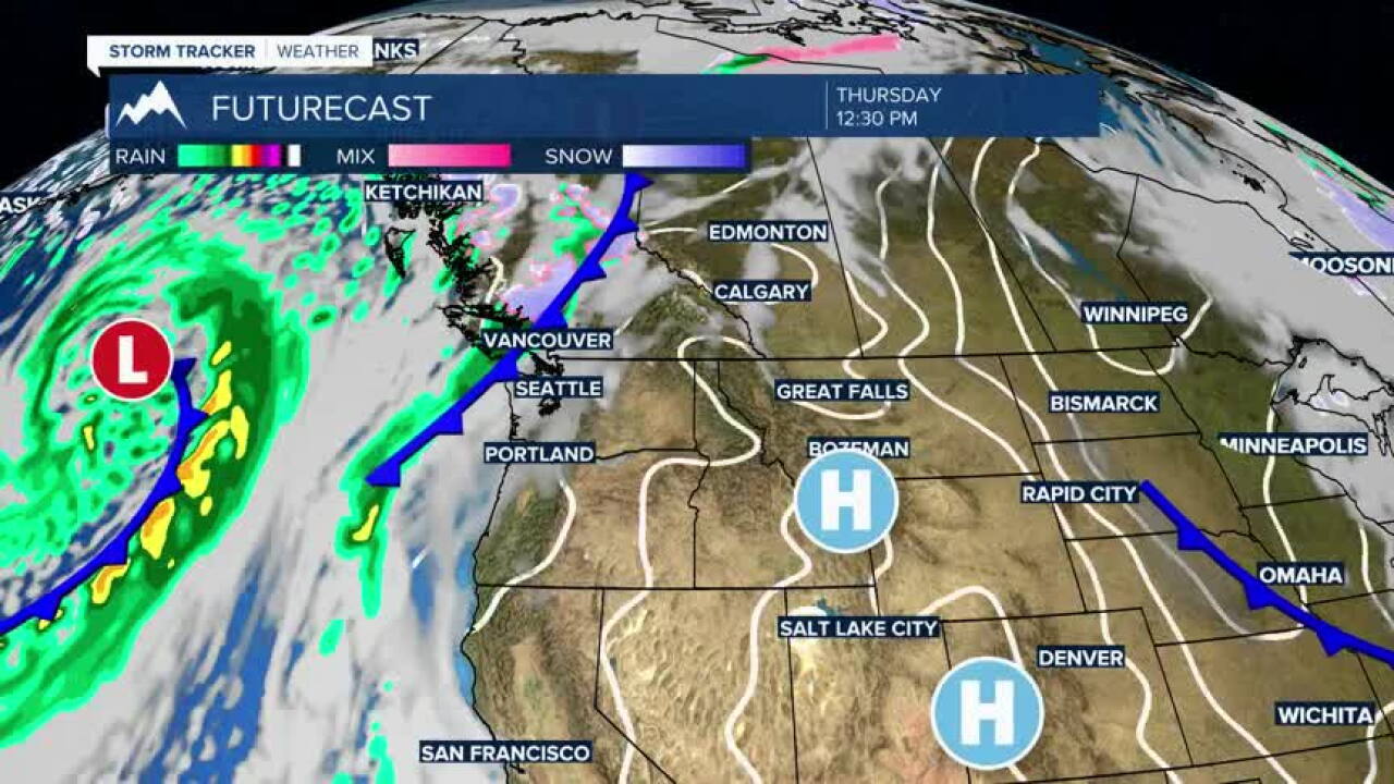
Another unusually warm November day is ahead across southwest Montana. Clouds this morning will gradually give way to more sunshine, with temperatures climbing close to 60 degrees in Bozeman, Butte and Dillon. Even West Yellowstone reaches the lower 50s. Winds remain relatively light, making for a quiet and pleasantly mild Thursday.
BOZEMAN
High: 61; Low: 38.
Mostly cloudy skies this morning will gradually give way to sunshine with temperatures climbing to around 61. Winds remain light through the afternoon. Clouds return tonight with temperatures falling into the middle 30s.
BUTTE
High: 60; Low: 30.
Clouds gradually decrease through the day with sunshine developing and temperatures climbing to around 60. Winds remain light, becoming southerly around 6 mph this afternoon. Mostly cloudy skies return tonight with a low near 30.
DILLON
High: 57; Low: 33.
Mostly sunny skies are expected Thursday with another mild afternoon. Temperatures climb to around 58 with light south winds becoming calm later in the day. Clouds increase tonight as temperatures fall into the lower 30s.
WEST YELLOWSTONE
High: 53; Low: 24.
Morning clouds will gradually give way to sunshine with an unusually mild high near 54. Winds remain light throughout the day. Clouds increase again tonight with temperatures dropping to around 30.
Looking Ahead
Temperatures stay mild Friday before a cooler pattern settles in this weekend. Even with the cooldown, temperatures should remain fairly mild for mid-November.
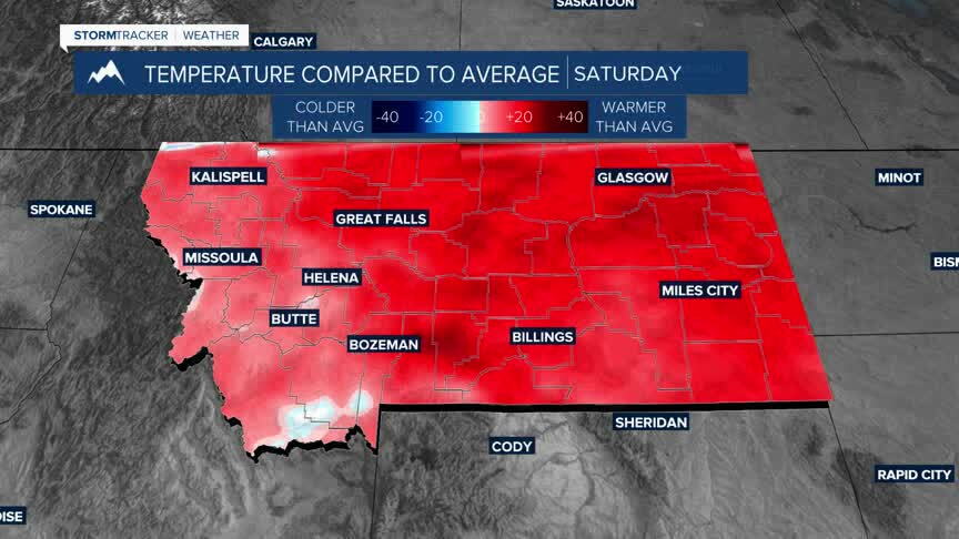
The bigger change comes next week as Pacific moisture becomes more active across the region. That should bring more opportunities for valley rain and mountain snow, along with gradually cooler temperatures.
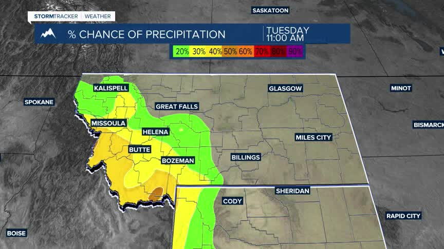
This looks like a more significant pattern change than what we've seen recently. Instead of the warm and mostly dry ridge dominating our weather, a more active Pacific flow should allow a series of disturbances to move through the region. That means rain and snow chances could occur on multiple days next week, with rain favored in the valleys and a better opportunity for accumulating snow in the mountains as temperatures gradually cool. The exact timing and amounts are still coming into focus, but the overall trend is toward wetter and more unsettled weather.
