



Today's Forecast:
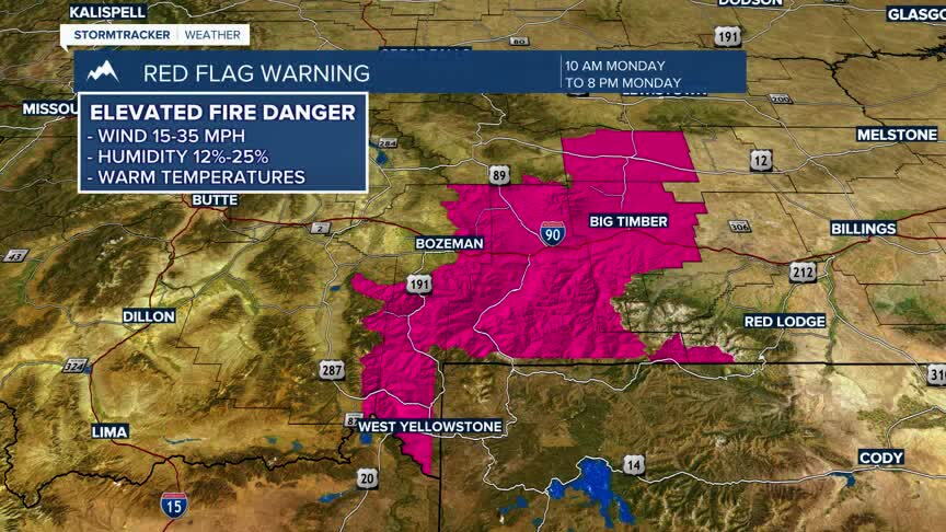
Southwest Montana will see another exceptionally warm October day with abundant sunshine, dry air, and above-normal temperatures. Breezy southwest to west winds will develop during the afternoon, creating elevated fire weather concerns, especially in grassy and cured fuels. The overall pattern remains quiet today, with no precipitation expected.
BOZEMAN:
High: 81; Low: 46.
Sunny skies prevail through the day with no chance of precipitation. Winds become west-northwest around 5 to 7 mph during the afternoon. Dry air and warm temperatures will contribute to elevated fire danger concerns. Skies remain mostly clear this evening with a mild overnight period.
BUTTE:
High: 80; Low: 40.
Sunny and unusually warm conditions continue with afternoon west-northwest winds increasing to 6 to 11 mph and gusts up to 21 mph. No precipitation is expected. Breezy conditions may persist into the early evening before winds diminish overnight under mostly clear skies.
DILLON:
High: 83; Low: 45.
Mostly sunny to sunny skies will help temperatures climb into the lower 80s, making Dillon one of the warmest locations in southwest Montana today. Southwest winds generally remain light, though gusts near 18 mph are possible. Dry weather continues with mostly clear conditions developing this evening.
WEST YELLOWSTONE:
High: 74; Low: 33.
Mostly sunny skies and unseasonably mild temperatures are expected. Southwest winds increase to 5 to 9 mph this afternoon with gusts as high as 20 mph. A Red Flag Warning is in effect due to warm, dry, and breezy conditions. Activity remains dry through the day, with mostly clear skies returning tonight.
CHANGES BY THE WEEKEND
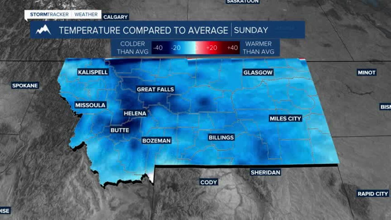
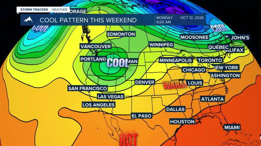
Upper-level high pressure will keep southwest Montana warm and dry through Friday, though today is expected to be among the warmest days of the week. Breezy conditions combined with very low humidity will create elevated fire weather concerns today. A significant pattern change arrives this weekend as a colder trough drops south from British Columbia. Forecast confidence is increasing for cooler temperatures, widespread precipitation, and the potential for mountain snow, with even some lower-elevation snow possibilities depending on the eventual track and strength of the system.
