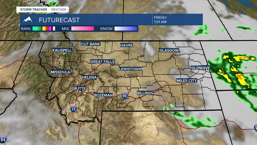


BOZEMAN – Cool and wet weather pattern is slowly winding down across SW Montana and this storm system will be exiting to the SE tonight.
Reports of a tenth of an inch to just under a half an inch over the last 24 hours across SW Montana all east of the divide out of the current storm system.
A high-pressure ridge is currently building over the Pacific NW and this ridge will be moving into Montana by Wednesday afternoon. This will produce a warming and drying trend through the upcoming weekend.
As skies clear over the next couple of nights, look for patchy valley fog to develop in the early morning hours.
