



BOZEMAN - A stalled Low pressure system is sitting over northern California and Nevada Wednesday afternoon with strong High pressure continuing to sit over the NE corner of Montana. This is creating a huge temperature contrast between western Montana and eastern Montana. Record highs are likely again Wednesday and Thursday for NE Montana. A Heat Advisory has been extended into Thursday evening for the NE counties of Montana.
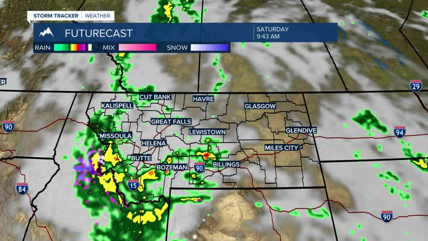
By the weekend that stalled low pressure system will spin up into SW Montana by Saturday morning producing widespread rain, a few thunderstorms and possibly higher mountain snow. Temperatures will be cooler than normal this weekend with a gradual warming trend into next week.
