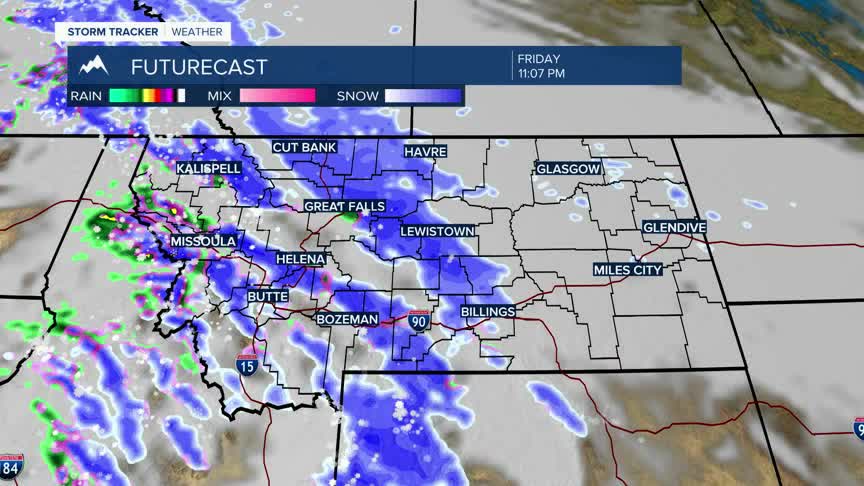


BOZEMAN – Snow returns to western and SW Montana over the next few days with several rounds of moisture following the Polar Jet Stream.
There is enough potential for accumulating snow that the National Weather Service has winter storm highlights Thursday afternoon through Saturday afternoon.
Winter Storm Warnings are up for the Bridger, Gallatin, Madison ranges along with the Absaroka-Beartooth ranges. At pass level 4”-8” of snow is possible and above pass level 12”-24” of higher mountain snow is possible. Bozeman Pass is included in the Winter Storm Warning along with US 191 Big Sky to West Yellowstone, Raynolds Pass, and Targhee Pass. Local wind gusts to 40 mph could produce areas of blowing snow.
The Butte-Blackfoot region is under a Winter Weather Advisory Thursday afternoon through Friday late morning. Accumulating snow is likely to impact travel conditions with 2”-6”+ possible for Homestake Pass, Georgetown Lake, MacDonald Pass, Butte and Anaconda. Local wind gusts to 40 mph could produce areas of blowing snow.
Other travel hazards will be pockets of freezing rain at lower elevations Friday into Saturday, especially in the morning hours.
Travel conditions should improve Sunday across the region.
