

BOZEMAN – A strong High-pressure ridge will continue to produce well above normal temperatures this week across the entire region.
Forecast highs in SW Montana will vary from 45 to 55 degrees with a slight chance of upper 50s to lower 60s in a few select areas. This could threaten a few record highs this week.
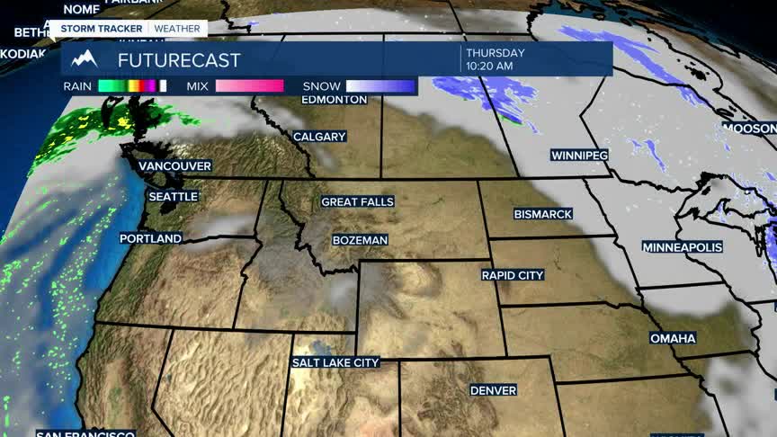
The ridge pattern should lock us into a mostly dry pattern as well with only a slight chance for light snow over higher mountain peaks.
This ridge will break down by late weekend and collapse altogether by early next week. This will allow our first chance for moisture in February with cooler temperatures and accumulating snow possible by Monday and Tuesday of next week.
