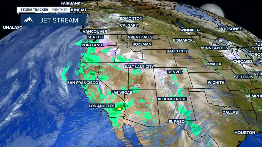


BOZEMAN — A stormy weather pattern will persist across the western U.S. for the next few days. Southwest Montana could see a few valley rain or snow showers, but the best chance for measurable snow is in the mountains and passes.
The greatest concern for accumulating snow is from Monida Pass through West Yellowstone and up to Big Sky. Other mountain passes may see light snow Thursday night into Friday morning, with the potential for icy spots.
Bozeman could see a few rain or snow showers Friday morning, but drier air is expected by Friday afternoon. Morning commuters should allow extra travel time and watch for slick or icy patches.
