

BOZEMAN – A high wind event is coming Tuesday evening through Wednesday evening and in fact windy conditions are likely through the end of the week.
The National Weather Service issued a HIGH WIND WARNING (no longer a watch) for SW Montana east of the divide from 2 am to 11 pm Wednesday. SW wind sustained between 30 to 40 mph and possible peak gusts 60 to 70 mph are possible with this event.
Lima to Dillon, Dillon to Whitehall, Whitehall to Boulder and Helena, Whitehall to Three Forks to Belgrade and Bozeman, Cameron to Ennis to Three Forks, Three Forks to Townsend to White Sulphur Springs. These are the areas of greatest concern for possible high wind damage.
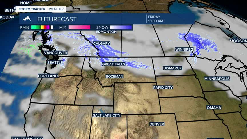
Most of the moisture is being pulled to the south,but Dillon to West Yellowstone over to Cooke City has a chance for lower elevation rain or snow and higher mountain snow.
A WINTER STORM WARNING continues for the Crazy Mountains, Absaroka-Beartooth Range and most of Western Wyoming including Yellowstone National Park through Wednesday evening. Higher elevations could see1’ to 2’ feet of snow.
