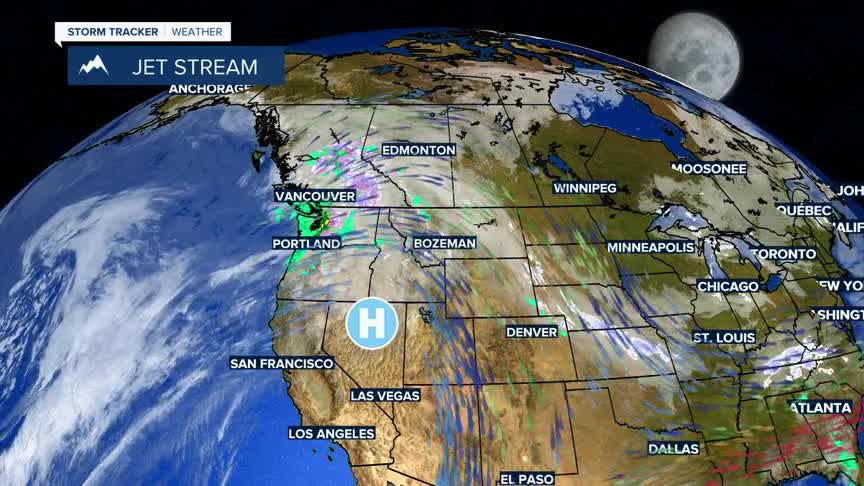


BOZEMAN – We are heading back into an unseasonably warm and dry weather pattern as a large blocking High-pressure ridge develops over the central and northern Rockies this weekend into all of next week.
A few very weak disturbances could produce a few high mountain snow showers with one disturbance Friday night and another on Monday.
Forecast highs are between 10 to 20 degrees above normal, both daytime highs and morning lows. Highs could reach the mid 50s are late next week across most of SW Montana.
